Basic Geophysical Data Acquisition and Processing (GPH48)
Description
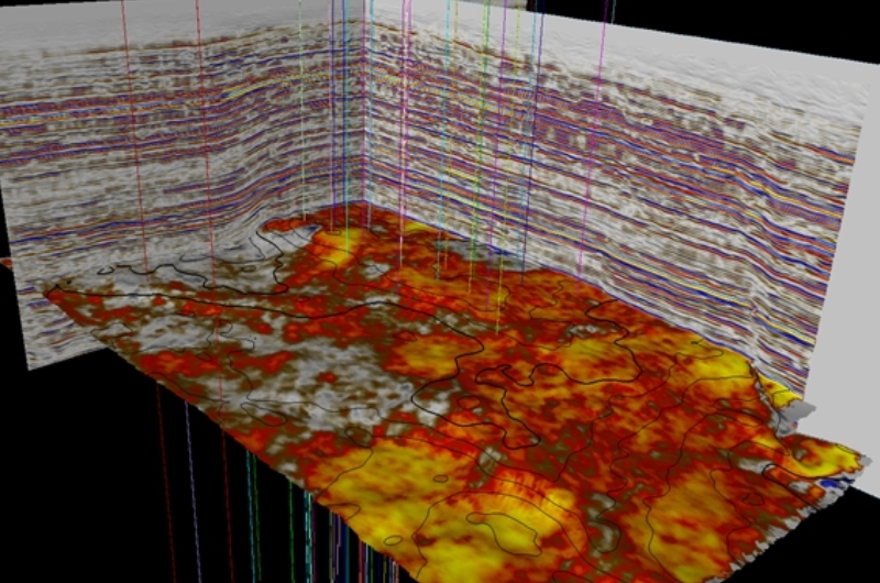
Geophysics provides technology with which we can "look" into the subsurface. It is a key enabler of many activities in the search for hydrocarbons, minerals and fresh water. It is also extensively used in the domain of monitoring pollution and rejuvenation of polluted sites. The course provides the fundamentals of seismic refraction & reflection methods, the use of gravity, magnetic, electrical and electromagnetic methods.
Course Level: Foundation
Duration: 5 days
Instructor: Jaap Mondt
Course Level: Foundation
Duration: 5 days
Instructor: Jaap Mondt
Designed for you, if you are...
- A Geologist, geophysicist or petroleum engineer, involved in exploration and development of oil and gas fields
- A professional engaged in projects related to the shallow subsurface or dealing with the (geo)physical effects of production of a field
How we build your confidence
Modern geophysical acquisition and processing techniques will be discussed not only based on a text book but above all by applying the theory in mainly Excel based assignments.The benefits from attending
By the end of the course you will be able to:- Understand what information geophysical data can give and for what purposes it can be used.
- Specify the requirements for a survey, either done by yourself or by a special service provider.
- Place and value geophysical activities in a multi-disciplinary context
- Judge the merits of various geophysical techniques
- Better liaise and collaborate with staff in related disciplines
- Recognise artefacts and direct hydrocarbon indications on seismic
- Value novel developments such as time lapse methods for hydrocarbon reservoir monitoring
Topics
- Gravity surveying
- Magnetics surveying
- Electrical surveying
- Electro-Magnetic surveying, including Ground Penetrating Radar
- Acquisition of shallow refraction seismic data
- Acquisition of reflection seismic data
- When to use 2D, 3D and 4D seismic
- Principles of wave propagation
- Basic designs of 2D and 3D seismic acquisition
- Processing of seismic and GPR data: Objectives
- How to improve signal-to-noise ratio, vertical and lateral resolution
- From simple migration to Imaging
- Result in depth (Time-to-Depth conversion)
- What to spend on a new survey (Value of Information)
© All rights reserved
HOT Engineering GmbH Tel: +43 3842 43 0 53-0 Fax +43 3842 43 0 53-1 hot@hoteng.com